Sorting
Search
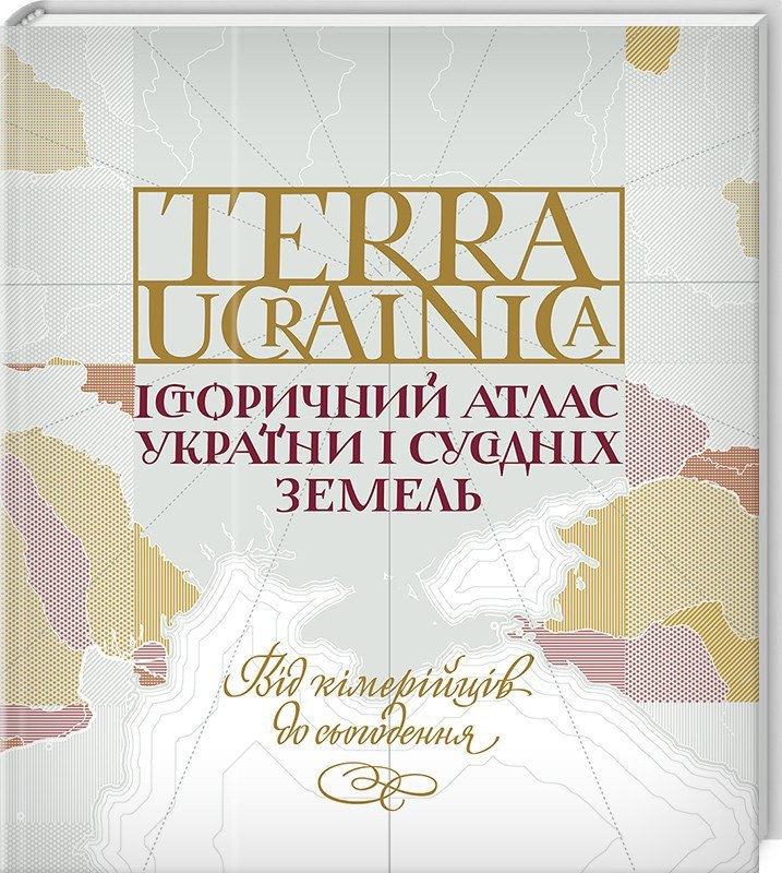
Materials for the section are kindly provided by the authors of the publication "Terra Ucrainica. Historical Map of Ukraine and Neighboring Lands", with the consent of the publishing house "Family Leisure Club".
More about the publication:Winner of the All-Ukrainian rating "Book of the Year 2018" in the nomination "The Past. Popular publications / historical writing"!
- It covers the period of Ukrainian history from the Cimmerians to the present day
- Each atlas is a chronological segment, an image of the territory of Ukraine and neighboring land
- The first attempt to show the history of our state in a pan-European context in a popular science form
This atlas is a unique combination of cartography and history, the first popular science work of such depth and volume, the result of long and painstaking work. The book contains documentary illustrations and 93 unique maps.
The atlas contains a short historical essay on the past of Ukraine and 8 chapters with historical maps and detailed comments to them, explanations, extracts from historical sources and documents. The maps do not show long periods, but specific historical moments that show changes in the political and territorial system. An objective view of the most important and ambiguous stages in the history of Ukraine. Without stereotypes and bias!